It felt good to be back on the bike for the long ride from New Orleans, LA to Donaldsonville, LA. I had had three days off, one in Memphis, TN, one on the train, and one in New Orleans. It had been a luxurious rest that I had never taken before on a tour. Still, I was itching to be moving again. I had planned my longest touring day yet, 80 miles, and the weather forecast was for tailwinds almost the entire route.
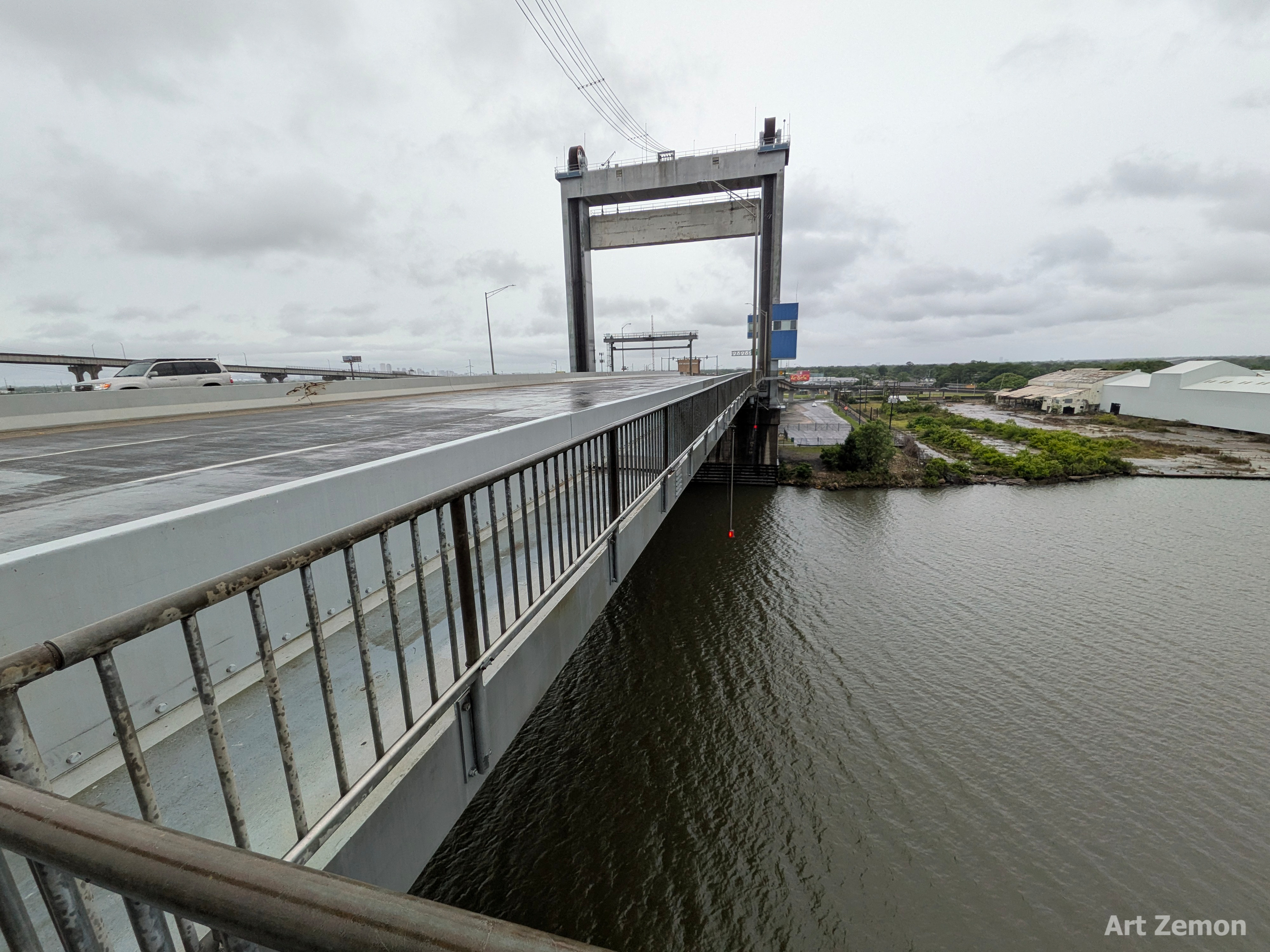
Two days earlier, I had ridden my bicycle from Algiers Point to my hotel. That finished with a ride across a high speed limit bridge with no shoulder. I thanked the universe and the car drivers for several things: polite driving, very little traffic, and a stupidly bright attention grabbing blinking taillight. I was not looking forward to crossing it again on a rainy morning and was hoping that, since it was Sunday, there would be very little traffic again. Can you imagine how delighted I was to discover that the westbound side of the bridge had a pedestrian walkway, separated from the vehicle traffic? I wish that I had known about it for my first crossing; I would have used it.
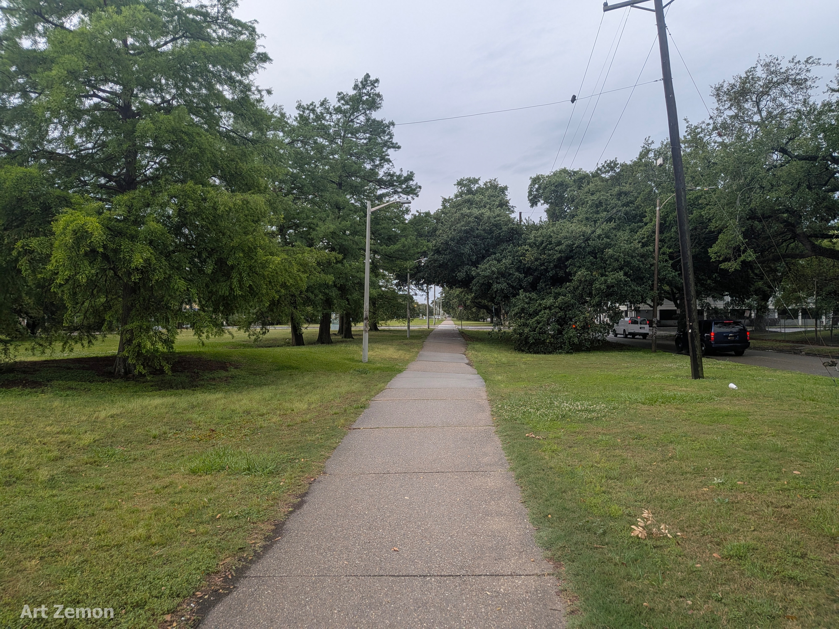
Six miles into the ride found me on a lovely bicycle trail down the middle of a parkway. I was very impressed by how much of New Orleans could be traversed either on bike paths such as this or in marked bicycle lanes on streets.
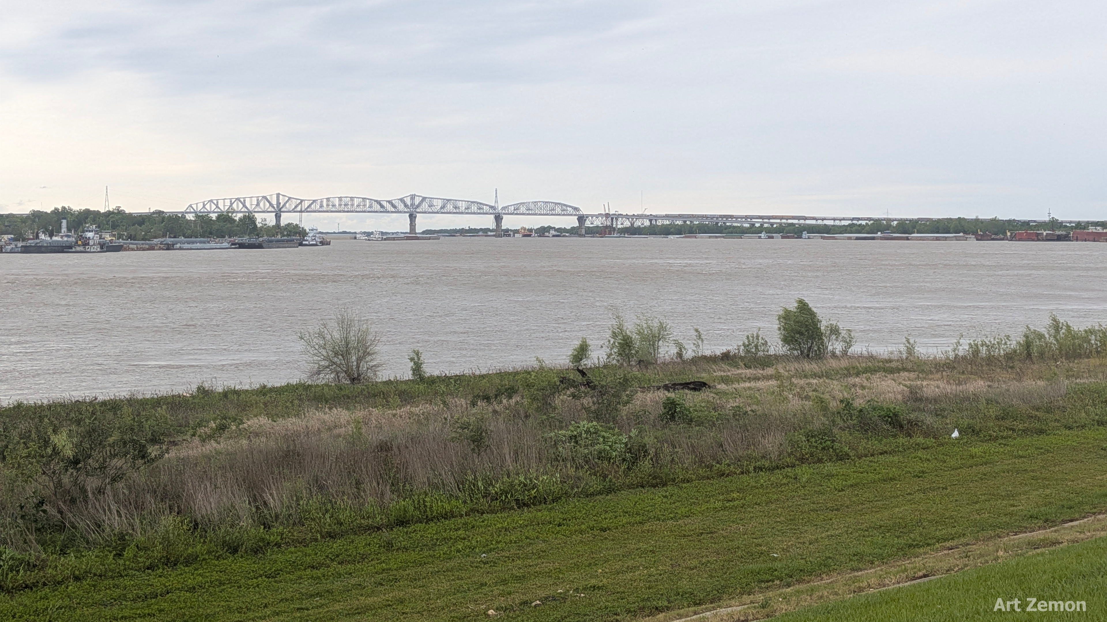
Eleven miles of urban riding brought me to the Mississippi River and my first view of the Huey P. Long Bridge.
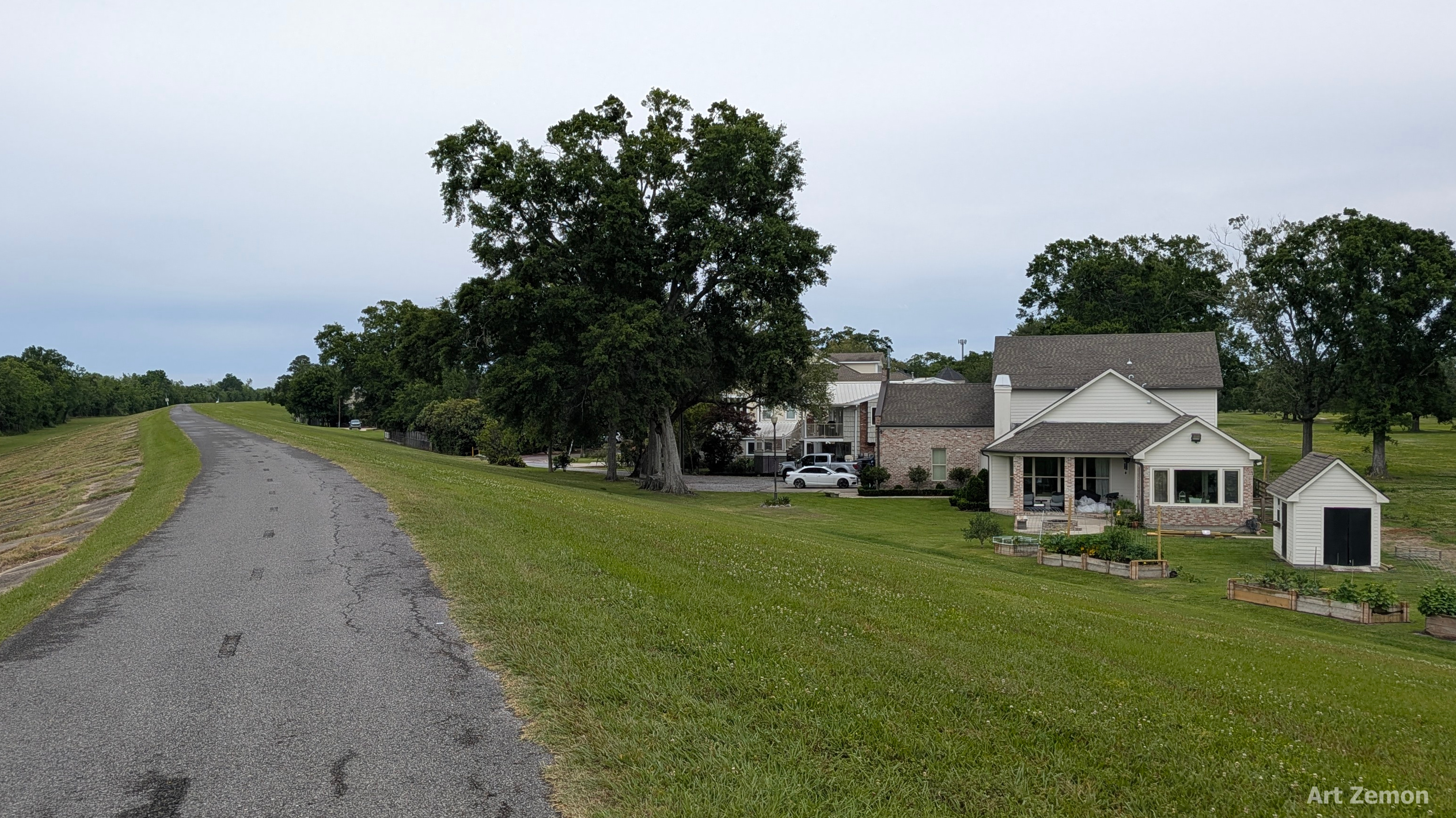
Navigation was going to be easy for the rest of the day. If the river was on my left, I was not lost. The levee path is very very nice. The pavement is in good shape. It is fun to check out the ports and ships and machinery along the river. On the land side are all sorts of neighborhoods, from “established” to “thoroughly gentrified.” Then, 18 miles into the ride and in the middle of nowhere, I came across a few nice newish houses.
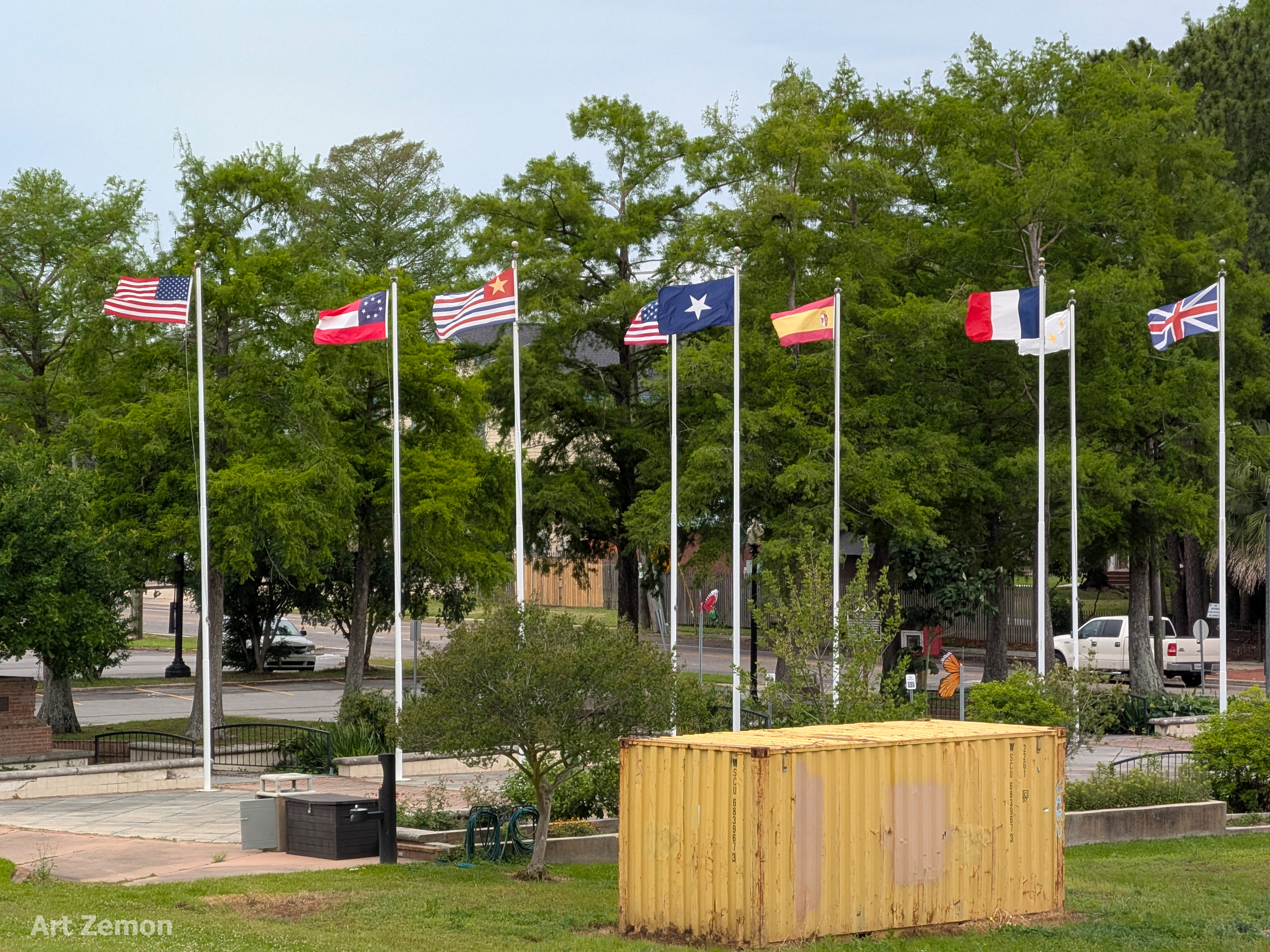
A few miles past the houses, I got a visual reminder of how nice tailwinds are. Check out these flags. Same winds as the previous week except this time, I was not struggling along against the wind. It was a quartering tailwind so I was often exceeding 12 MPH, which is pretty darned good for me.
Remember how I told you that the levee trail was so nice? I was flying along at a good clip, enjoying the scenery, when all of a sudden the pavement ended with about a six-inch drop off to gravel. Whee!!! I got air and my nimble steel bike with 35 pounds of gear in the panniers plus three water bottles plus me slammed down to earth. I kept rolling wondering what had happened to the pavement and why there was not even a sign. About 50 yard farther on, the gravel ended in mud. There would be a trail here “soon” but not on this day.
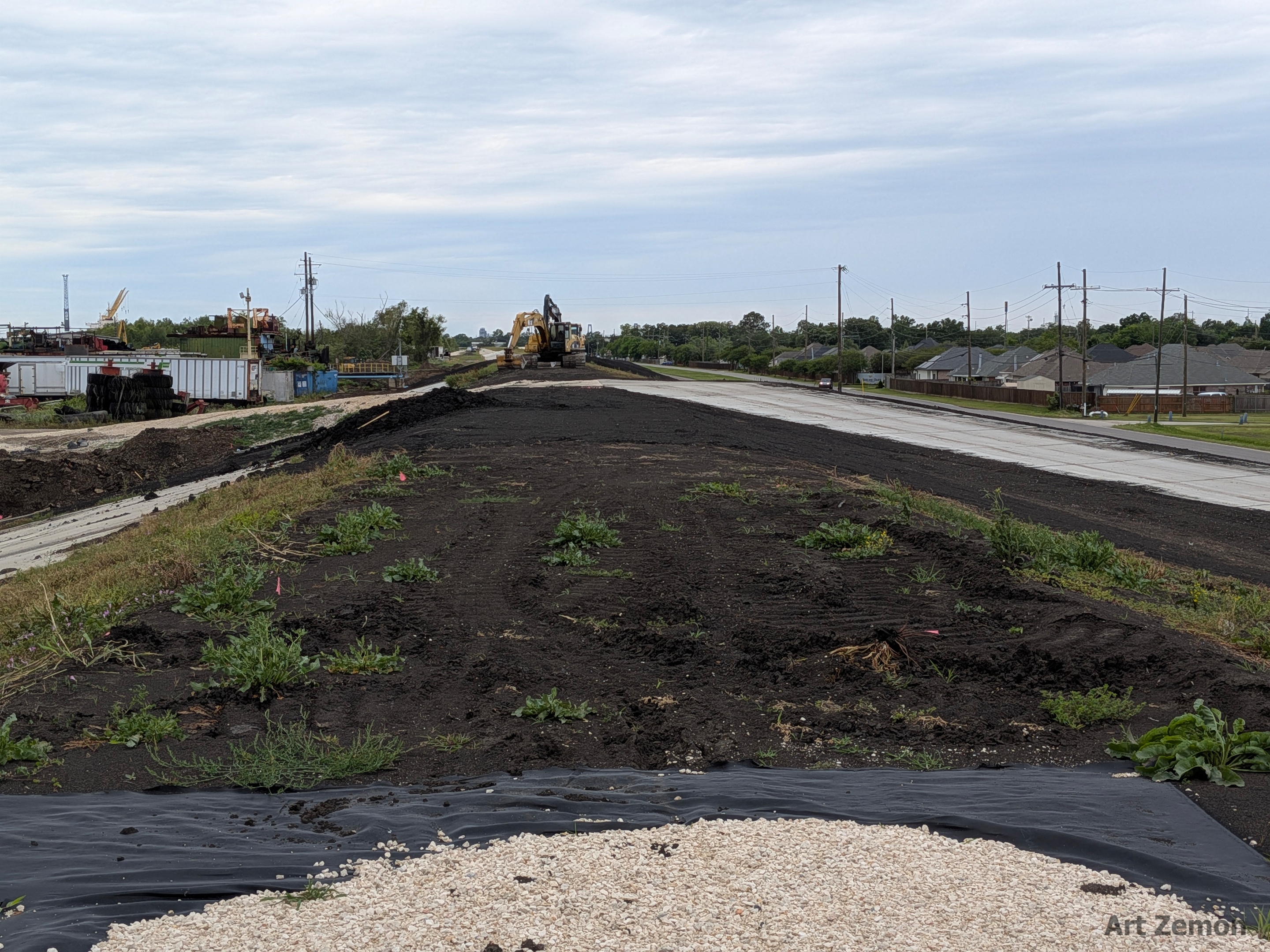
I turned around. What with all the rain that we had had overnight, I was not going through the mud. On the way back, I passed the BIKE PATH CLOSED sign, face down in the grass, next to the gravel. Yay.
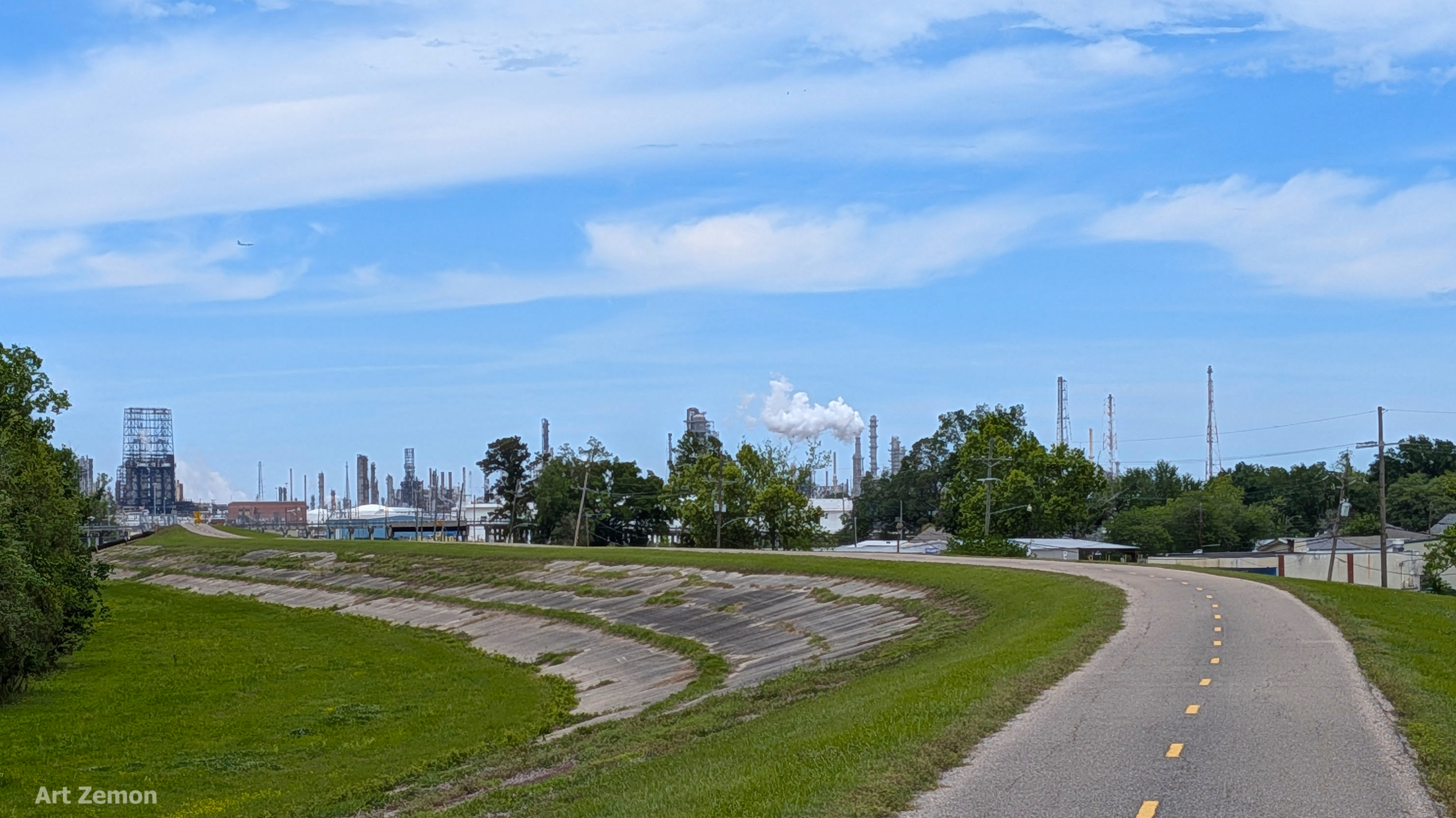
Oil refineries may not smell good but they make for cool views. This one was 35 miles into the trip.
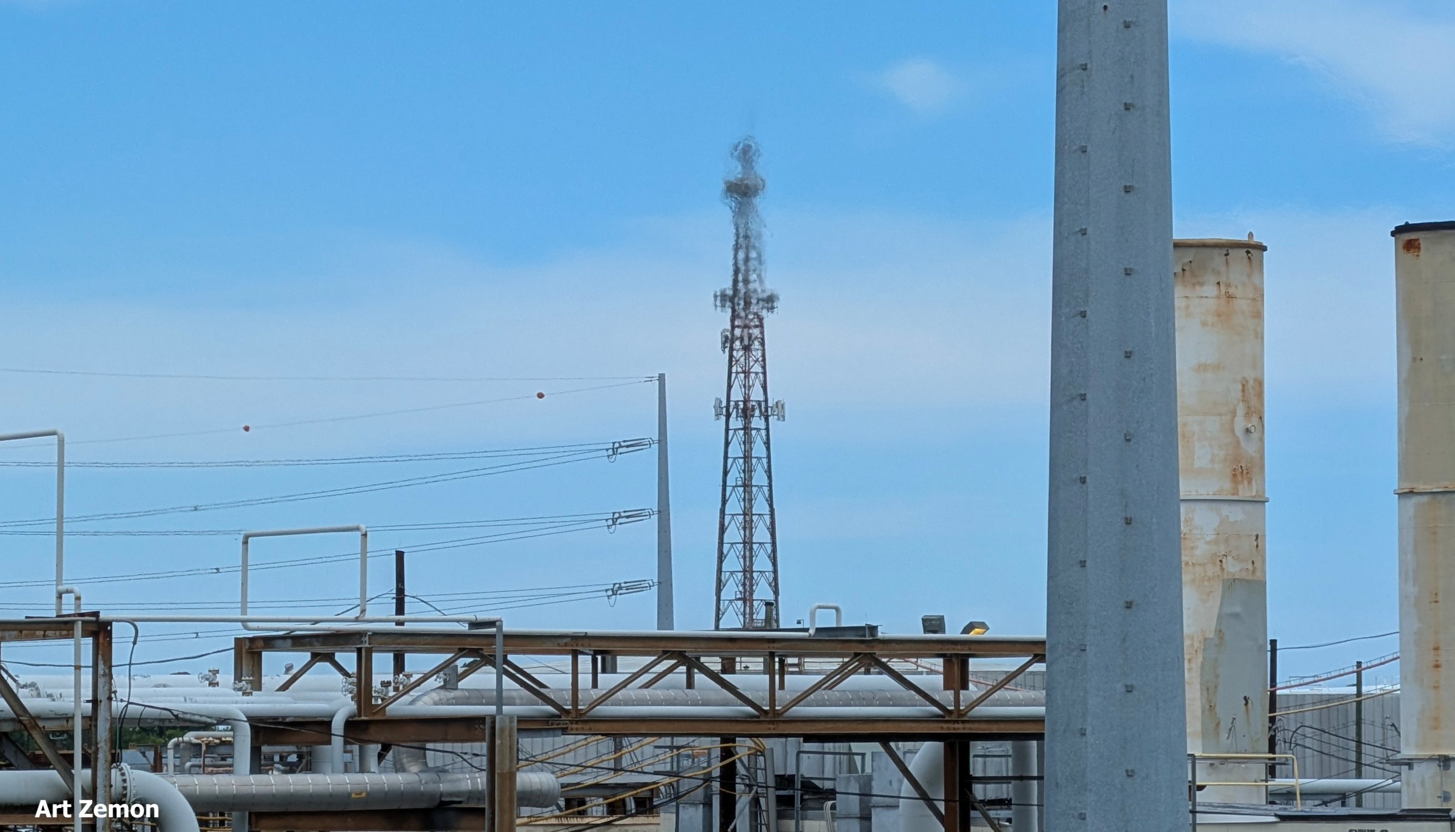
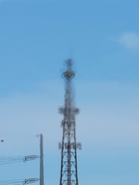
Riding past (through?) it on a bicycle gave me time to appreciate things like the heat shimmer on this antenna tower.
I think it is so cool that my phone can shoot little animated clips like this and you can see them. Gotta love technology (when it works).
Lunch was next, in La Place, LA. I found a little Chinese restaurant and chowed down. After lunch, while I was slathering sunblock onto myself, a man stopped to ask about my ride and if I was documenting it in pictures. Will and I had a great conversation and I think that we could have talked all afternoon had he not needed to get back to work and I not needed to get riding. If the stars align, Will and I will get to ride together this summer in St. Louis.
Pedaling out of La Place, I had direct tailwinds and for about six miles I was hitting 16-19 MPH. Yee hah! I know that some of you road cyclists are just getting warmed up at 16 MPH (I’m looking jealously at you, Steve) but these are screaming fast speeds for me.
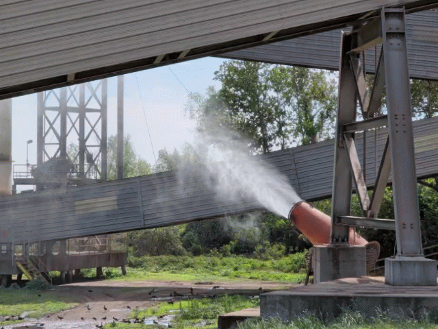
I had slowed down a bit when I rode past this water canon, shooting water to keep the dust down. Aren’t you impressed that I know all that? Chalk up another one for bike riding. As I was taking this photo, two workers in a UTV drove past on the trail. I flagged them to a stop and asked what this gizmo was and why it was shooting water.
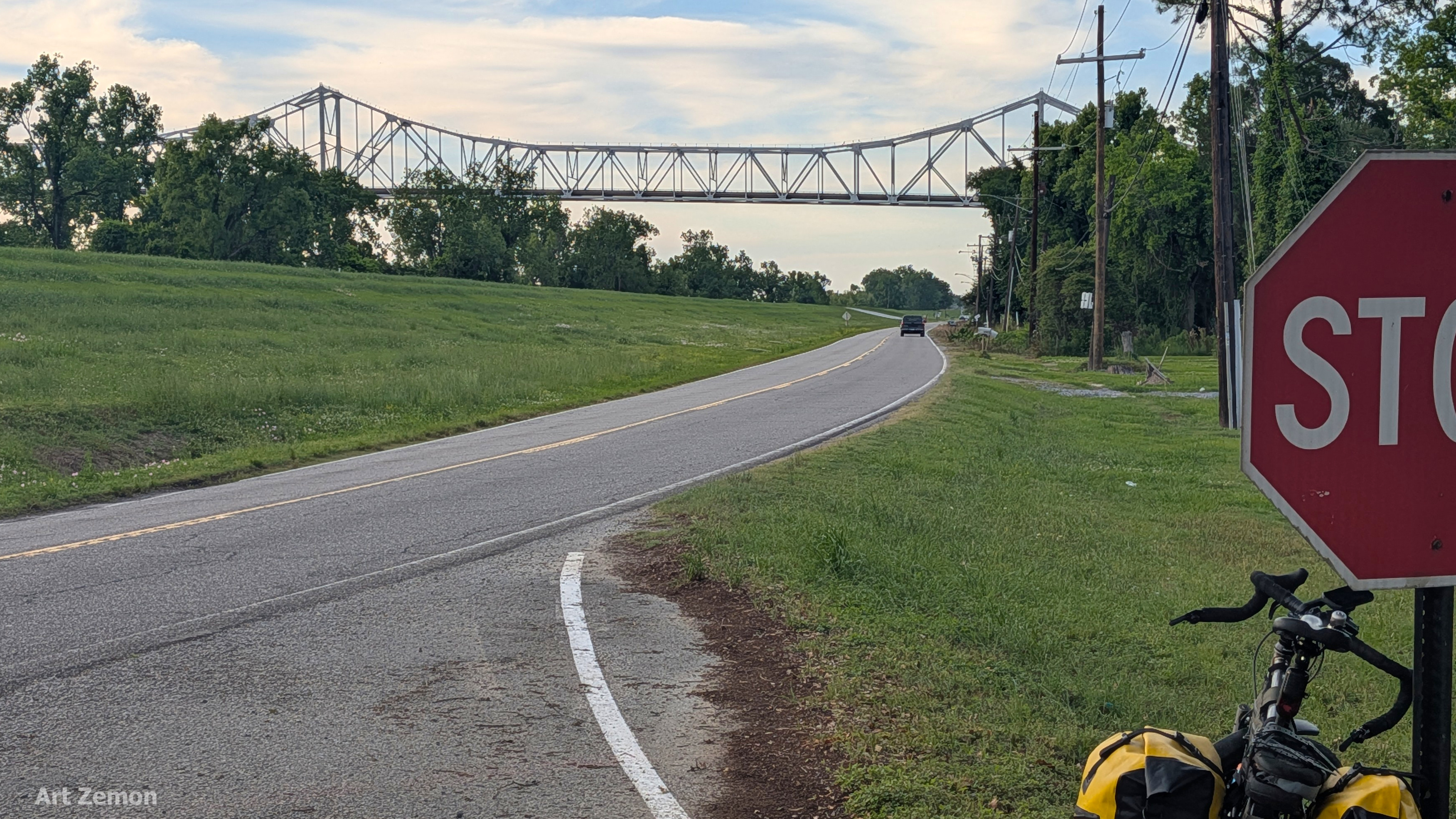
I got my first good look at the Sunshine Bridge at 78 miles. “All” I would have to do would be pedal way up onto this span to cross the Mississippi River to get to my hotel.
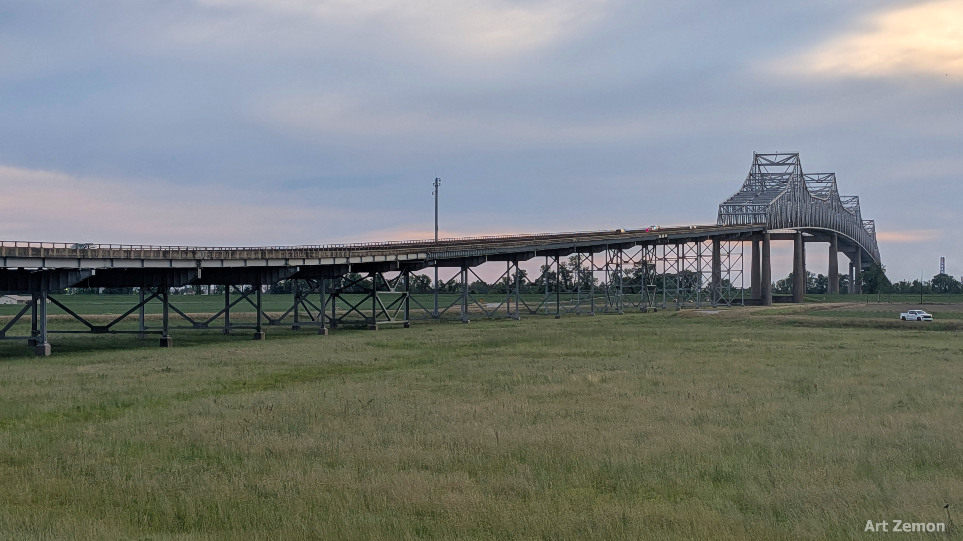
The Sunshine Bridge is long.
I would have loved to shoot pictures of the river and the lowering sun from mid-span but there was no shoulder where I could safely stand. I kept pedaling. The nice thing about persevering to the top of that bridge? Coasting down and hitting 36.6 MPH. 😀
That wrapped up my longest ride to date, 81.2 miles at an average moving speed of 11.4 MPH according to Garmin.
Jump over to the St. Louis to New Orleans page to see a map of the entire tour and all of the other blog posts which are part of this series.

What a day you had! I do hope you were well padded when this happened:
…got air and my nimble steel bike with 35 pounds of gear in the panniers plus three water bottles plus me slammed down to earth. I kept rolling wondering what had happened to the pavement….
I love running into people and just chatting. What great pictures again. Bravery for crossing that bridge