My initial plan for the last day of my St. Peters to Minneapolis bike tour was pretty boring: ride west from Hastings, north past the Minneapolis Zoo (hopefully with time for a short stop), north through suburbia to the bike trails along the Mississippi River, and then finish at the Stone Arch Bridge. I was staring at the map when I realized that there are a whole string of parks along the western side of the river and that I could ride through them instead. Instead of boring, my final route took me through Vermillion Falls Park, Lake Rebecca Park, Spring Lake Park Reserve, and Pine Bend Bluffs Scientific and Natural Area. From there, the map looked like boring suburbia but the riding turned out to be pretty interesting. The last 12 miles of my tour would take me through another set of riverside parks. All in all, 3/4 of the day was looking to be scenic.
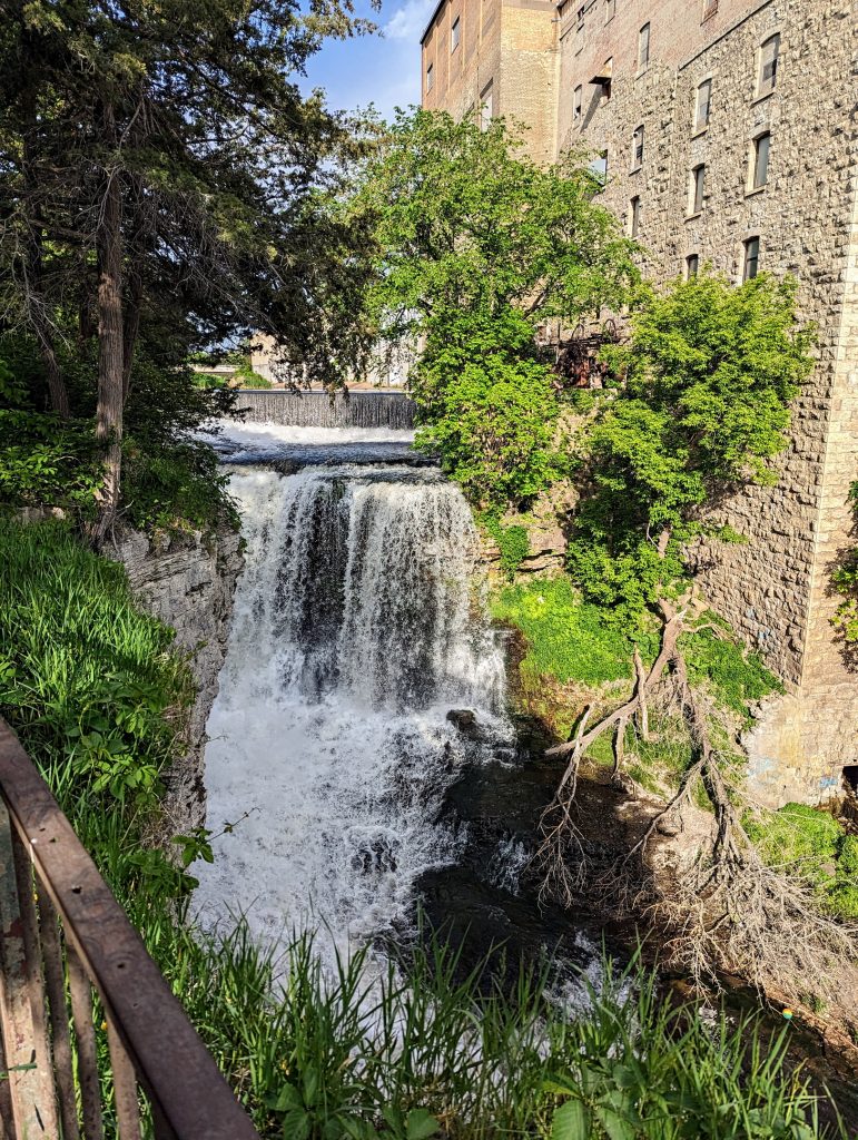
I left the hotel with a detour to the east so that I could check out Vermillion Falls. No surprise, it was pretty on a sunny Sunday morning and I had the park to myself at 8:00am.
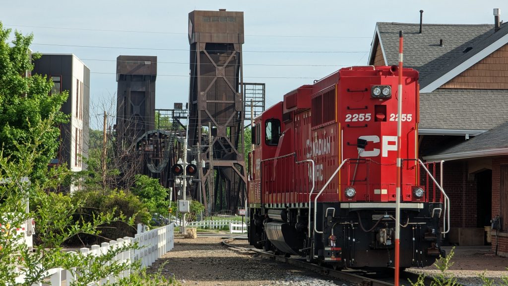
I rode north to the Mississippi River from the falls. I found a bright red locomotive parked in town. The poor thing had lost all of its cars. After taking this picture, I took the first of many wrong turns that day. I was clearly more focused on sightseeing than following my route, or even paying much attention to my navigation computer. Thankfully, my Garmin Edge Explore 2 patiently reroutes me, just like the GPS in my car. Were it not so good, I might still be riding in circles somewhere in Minnesota.
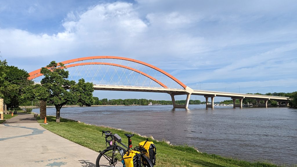
The riverfront in Hastings is a miles-long park including a nice, smooth path. At yet another photo op, I liked the contrast between the brown railroad bridge pictured above and the white/orange road bridge below.
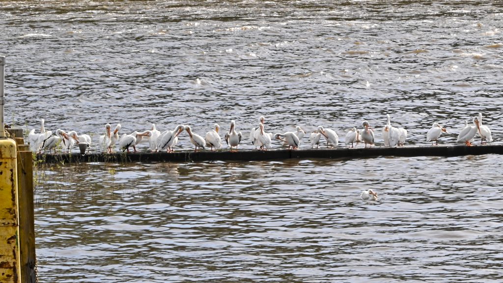
Less than two miles of pedaling brought me to lock and dam #2. This is the northernmost lock that is used by barge traffic. As with all of the other dams, the wildlife love it. I found 30 American white pelicans waiting on breakfast. Only one bird thought it was even worth the effort to swim. The US Army Corp of Engineers must serve up quite the buffet for these guys.
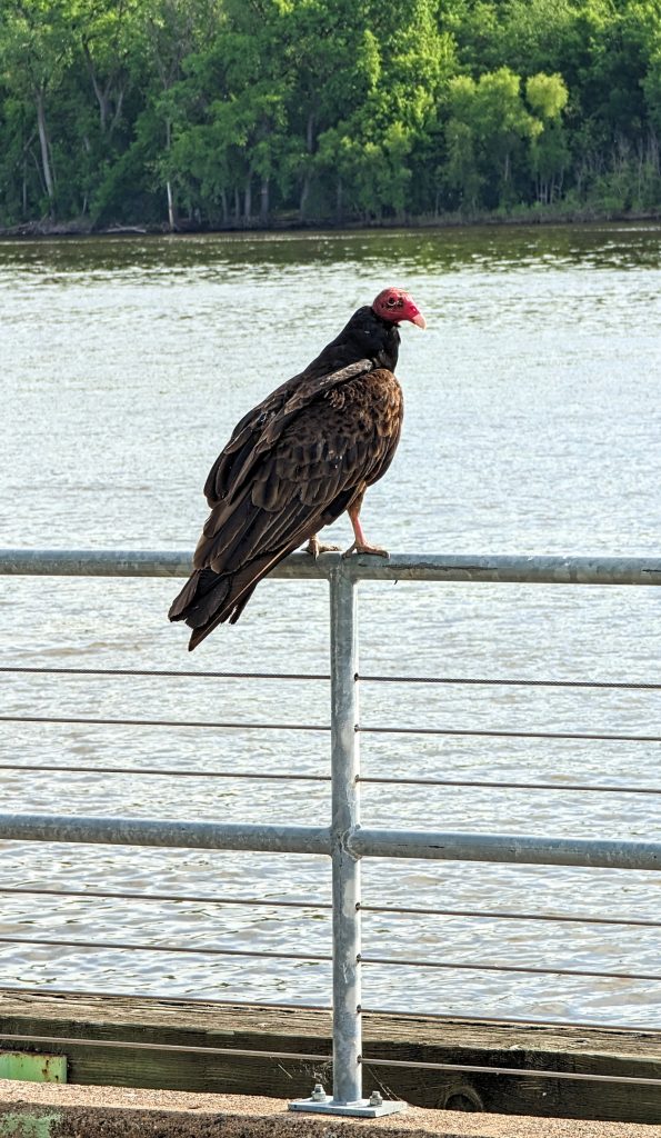
I had to be bold to get that shot because this turkey vulture did not want to cede his spot to me, even though I was bigger than he.
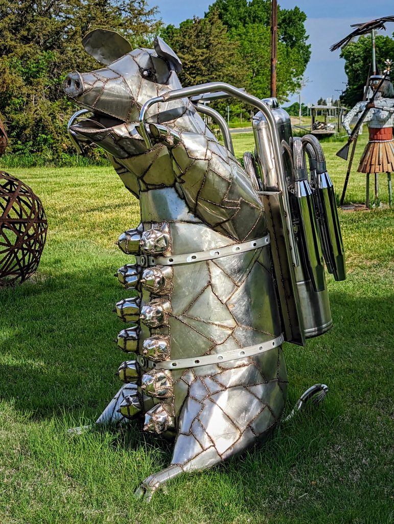
Another 1 1/2 miles brought me to the Dale Lewis Sculpture Garden. I have always had a soft spot in my heart for flying pigs but I had never seen one fly like this.
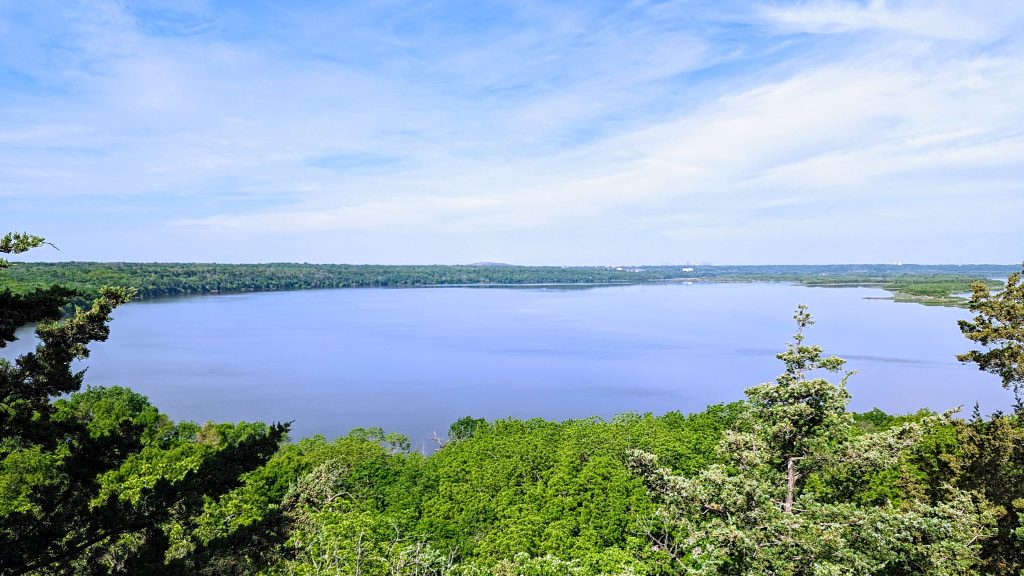
Most of the next ten miles was through the Spring Lake Park Reserve with nice vistas of Spring Lake on the south side of the river.
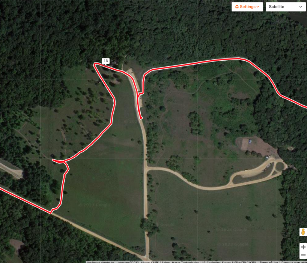
The western end of the Reserve brought me to the only mapping error in my entire trip. The Mississippi River Trail is clearly mapped and marked “MRT” in OpenStreetMaps Cycle map. You can see it here. The thin red line is where I ended up actually riding as I tried to follow the mapped route.
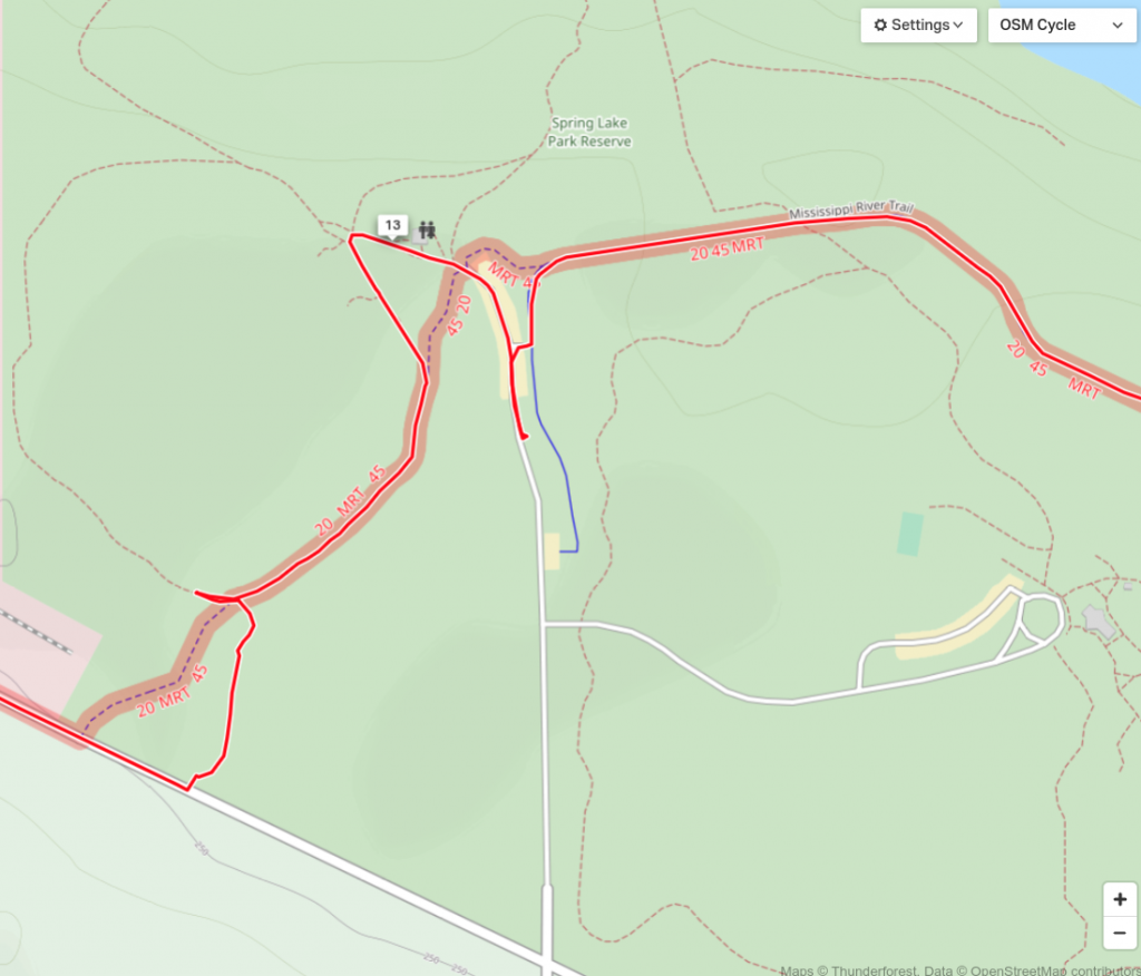
You can see the problem in the satellite view. The bike path is simply gone, turned into a grassy field. This part of the Reserve is now an archery range (fortunately unused as I was riding through it). I ended up going “cross country” to reach the road and hauling my bike through the drainage ditch on the north side of the road.
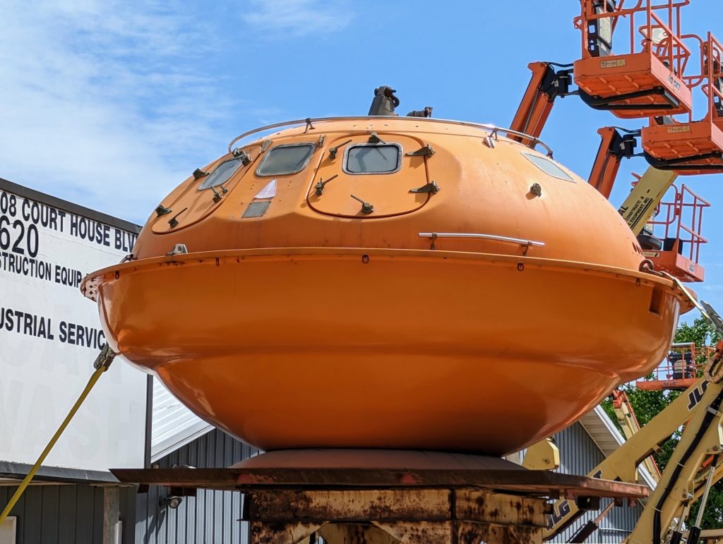
The next several miles were kind of odd. There was a highway and a bunch of industrial stuff to the west. But I was riding on a nicely paved bicycle trail through woods with the Mississippi River occasionally in view on the east. I met half a dozen other cyclists out for a morning bike ride at a shelter and we chatted for several minutes. We rode north together for a mile or so until I got distracted taking pictures of this flying saucer while they kept going. When I got home, I had to Google this thing to learn what it is: an oil rig escape pod. This one is for sale, should you feel compelled to own one.
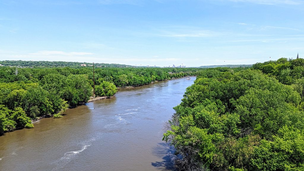
I cut northwest from the flying saucer, taking a 12 mile shortcut while the river went north to St. Paul and then looped back to the southwest. I rejoined the Mississippi River at Fort Snelling, right after crossing a hugely busy bridge over the Minnesota River. Highway 55 runs over this bridge and, even on the Sunday afternoon of Memorial Day weekend, it was nutty busy. Even more amazing, the bike path on the north side of the bridge (safely divided from motorized traffic) was just as busy with bikers, hikers, and even unicyclists). The view was so worthwhile, though.
Once off the bridge, I was in forests or parks all the way to the end of my ride. The most significant event on the trail was riding past a bunch of cops and firefighters who were walking a section of the trail which was barricaded and marked “closed.” They seemed to be checking for brush fires. Neither they nor the other hikers and bicyclists seemed the least bit bothered by the barricades or signs.
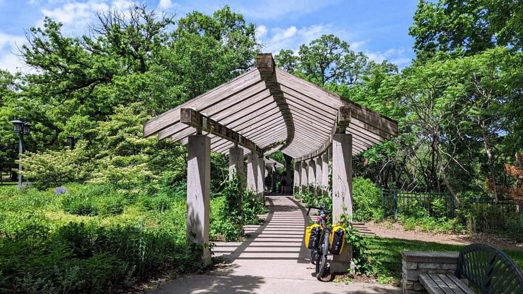
Minnehaha Regional Park had all kinds of cool sculptures, bridges, nooks, and crannies.
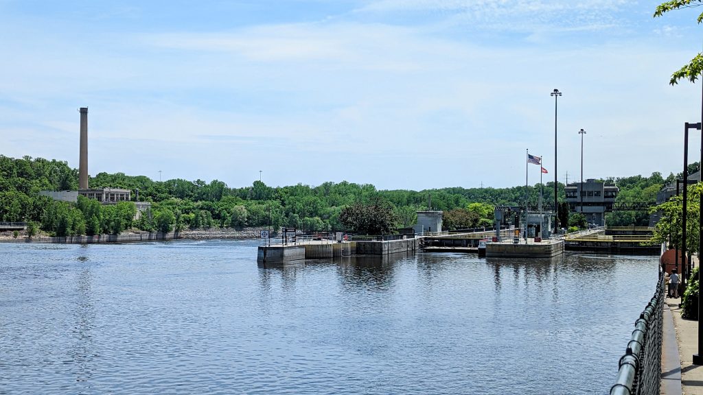
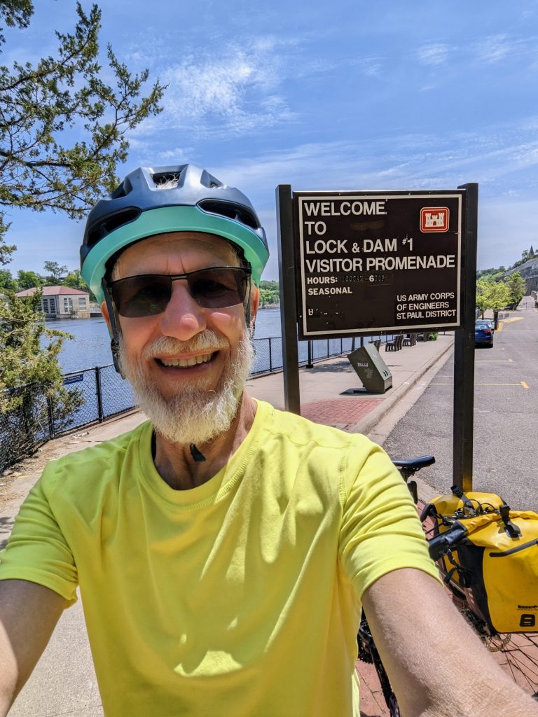
I was so focused on the end of my trip that I almost rode past lock and dam #1. I actually had to turn back and ride down the hill to get a couple of pictures.
Lock and dam #1 is just a teeny bit smaller, and a whole lot more picturesque, than the ones in Missouri.
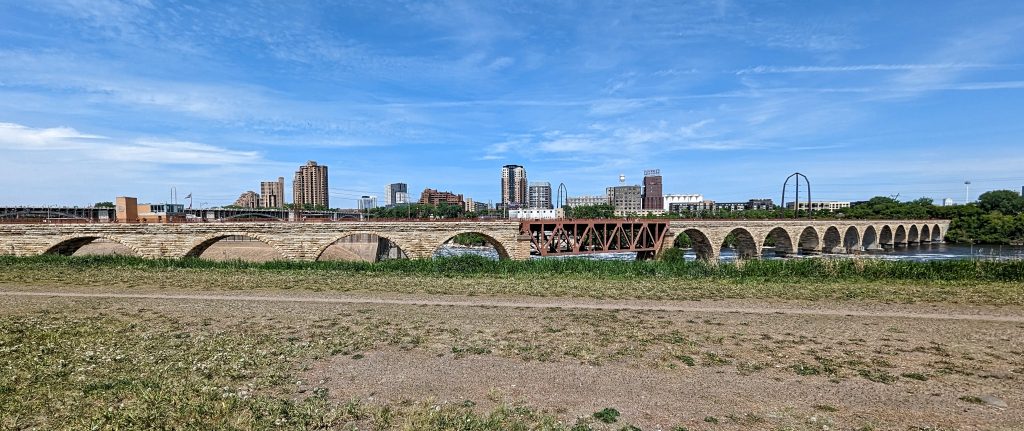
Five short miles brought me to my first view of the Stone Arch Bridge.
And from there it was just a quarter mile to the end of my trip.
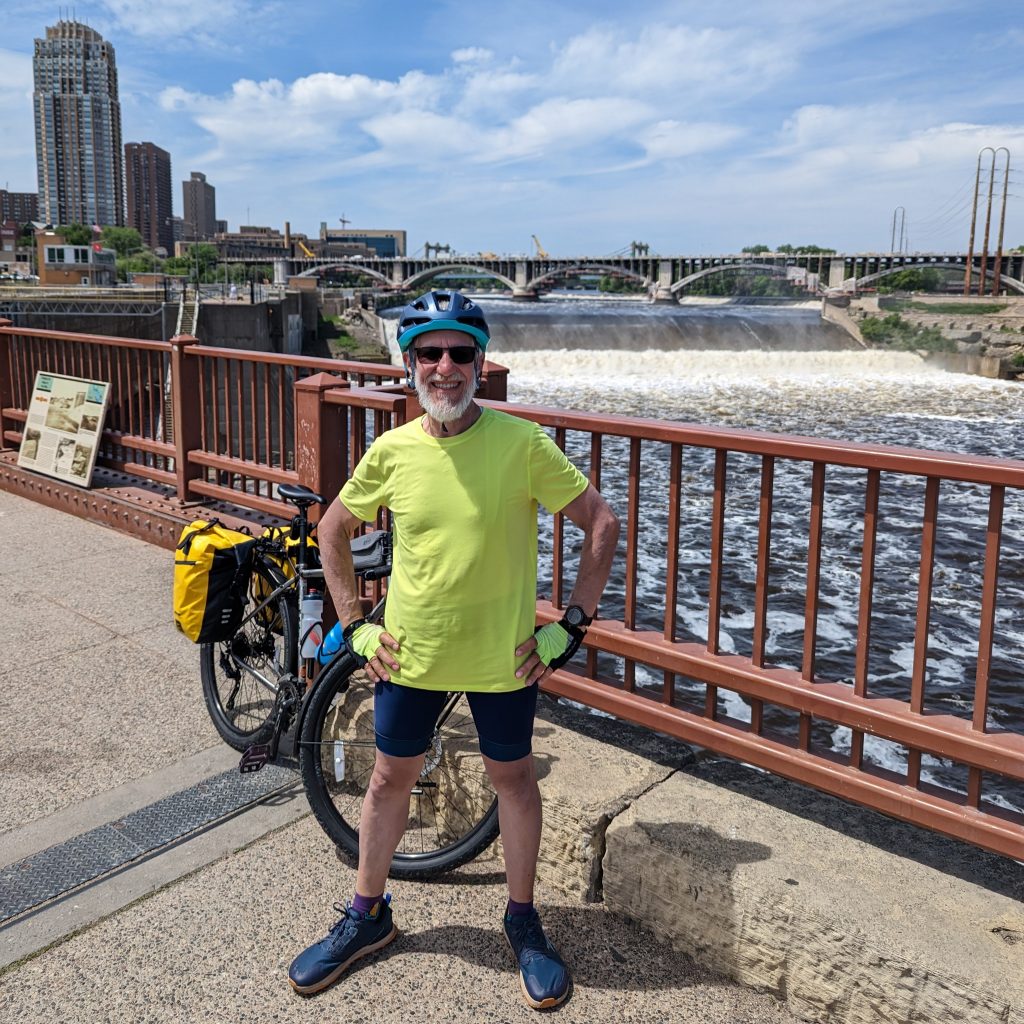
Two and a half weeks after riding out of St. Peters, MO, I was standing on the Stone Arch Bridge in Minneapolis, MN with one of the biggest grins I have ever worn in my life.
You can read more about how I felt that day in a blog post that I wrote right after getting to my hotel: I Did It! St. Peters to Minneapolis by Bicycle.
The End

These are great pictures. Congratulations on accomplishing this amazing ride! I am so glad you took us with you, especially since you had to do all the work.
Congratulations! Glad your trip was as wonderful as you anticipated. I’ve so enjoyed traveling with you through your beautiful photos. Homeward bound!